www.thisfabtrek.com > journey > asia > turkey > 20091003-erzurum
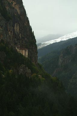
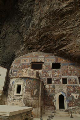
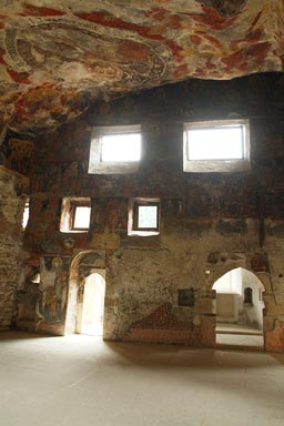
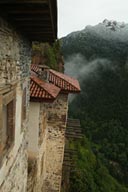
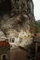
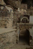
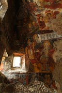
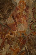
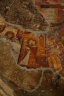
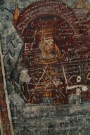
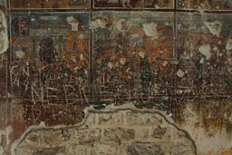
Sümela Monastery, Sümela Manastırı, Rock Church.
Download GPS (KML) track/waypoints.
4th night in Trabzon, thunderstorms howl all night, still so much rain in morning, freezing. Out of Trabzon, I am leaving the Black Sea coast, headed land inwards following an ancient Silk Road section, south up mountain, from rain to snow. At Maçka I take a little detour up the Altındere valley to a place known as Meyrem Ana/Meyremana (the Vigin Mary).
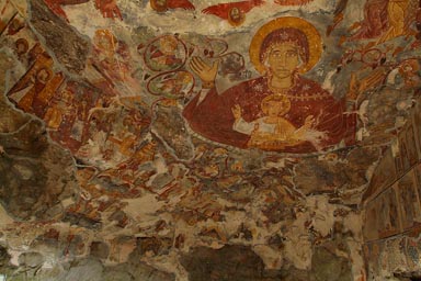
According to legend, monks cared about this place since the end of the 4C A.D., when 2 hermits found the miraculous icon of the Virgin Mary at the very place. The monastery grew through the centuries in size and importance, subsequent Ottoman sultans granted privileges and rights. The site was forcibly abandoned in 1923; what winds and invasions could not achieved in a thousand years, the Treaty of Lausanne managed in one single year, when all Byzantine Greek where sent to Greece following Turkey’s victory in the its war independence. It then fell quickly into ruins, souvenir hunters took away many of the frescoes, fires and the elements did the rest.
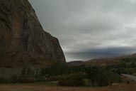
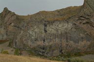
The monastery stands out through its setting; perched into the cliffs 300m from the bottom of the valley, built with security in mind. A cave full of frescoes (several layers 14th to 18th C.), a rock church/dark church is the centre piece. Some restoration work has been going on, but no attempt is being made to prevent stupid people from all nationalities from leaving their initials/dates/other engravings. (wiki, Turkish Gov, Lahana.org)
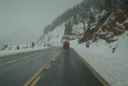
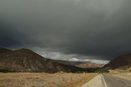
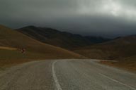
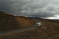
I continue up the Zigana Mountains, a pass 1800m, snow starts soon, a half a meter. Lorries are stuck, some have slid off the road, probably at night, now the road is being plowed; temperatures are in plus Celsius degrees now. The Zigana are known for sudden blizzards and snow all year round.
This early appearance of winter is a warning, it is getting late in the year. However I believe there should be some sun on my route over the next month while I travel Eastern Anatolia.
Bayburt.
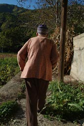
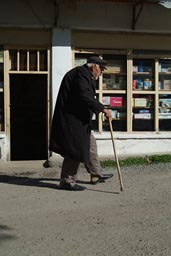
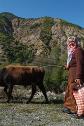
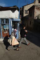
Road takes me past Gümüşhane with knocked over, ripped apart trees, the effects of the blizzard. I arrive in friendly Bayburt at 1600m, yes is more conservative, old women walk around in earth colored jute sacks that cover just everything, it is a different social fabric. I buy some more honey in one of these special shops, nice people, indigenous honey. I put my sim card in my old phone, need buy a new battery; Avea is a bad phone company, their sim card stops working in foreign phones after 10 days. The people in the Avea shop though are so helpful, actually manage to explain me just that.
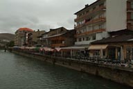
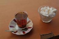
In a restaurant on the Çoruh river I have some nice food like so often in Turkey. The place is full of men, two veiled women come in when I have my tea. Outside 2°C, one constant drizzle. I have another çay.
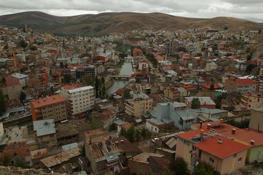
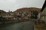
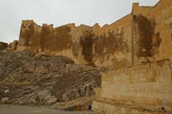
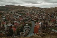
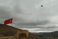
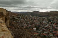
First cold weather is here to stay. Sleep in cloths and sleeping bag and blanket, the night stays cold. Morning is 3°C, a coffee, honey will not come out of the jar, ball point refuses service; at least temps don’t drop further below 0. I decide for a walk and less out of curiosity, rather to get warm make it up to the ruins of the castle/fortress of Bayburt which lies imperial on top of the hill overlooking the town. Founded in Byzantine times it was operational throughout Ottoman history. Skies clearing a bit there’s some superb view on town and surroundings; the proximity of snow strikes, still just 4°C. I long for more, much more of Anatolia.
Back in town I eat at same place, 11 o'clock, 8°C, I leave.
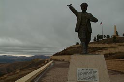
Though deep in Anatolia, right on the Anatolian plateau Bayburt is officially still part of Black Sea region. Soon I go up the Kop mountain pass, a war WW1 memorial; against the Russians Turkish troupes held it and died in their tens of thousands here all winter, killed in action or of disease and cold, 1916 or so, so did Russians, 2370m of altitude. I shudder. Russia pulled out after October Revolution 1917.
40 km before Erzurum turn left, another pass 2380m, I eventually see the light; it is my way to Ispir (which though to the north is now part of Eastern Anatolia region).
Ispir, Çoruh valley.
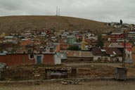
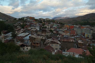
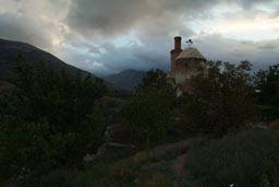
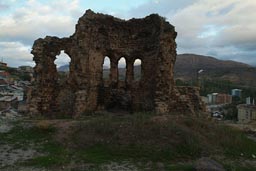
Ispir, I see the light of the sun, late before dusk. Conservative, friendly town, the altitude below 1200m, a castle, a minaret and mosque and what seems to me the remains of a church?
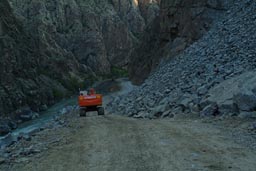
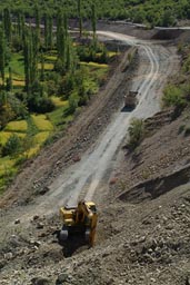
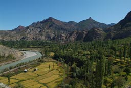
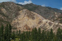
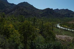
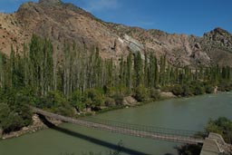
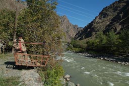
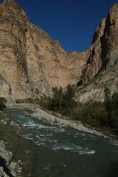
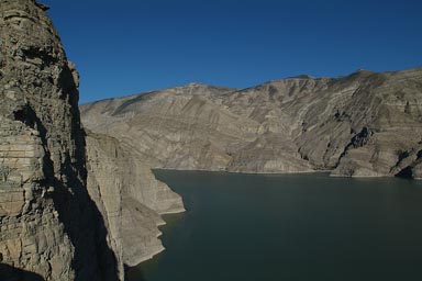
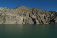
Following morning is 30th, back into Black Sea region down the Çoruh River valleys (wiki, karalahana) and canyons to Yusufeli. They’re working hard on the Çoruh River valley destruction, the unfortunate stream will be dammed some 13 times submerging the deep gorges with its unique biodiversity. Civilized nations it seems must define themselves through will and capacity to destroy.
Çamlıkaya, further the Çoruh valley.
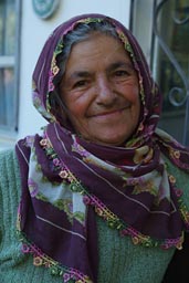
Down the Çoruh, altitude is 930m, a sign says Çamlıkaya to the left, intuition tells me go in. 20m later I pick up an old couple, he is around 80, on a stick. His old woman much fitter, 65 or so, unveiled she climbs in the front, smiles, grabs my hand, shakes it. And talks, I understand nothing.
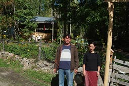
I drive them some 4 km up mountain, - to the village of Çamlıkaya, she insists: Çay, Çay. I leave everything open, follow the old man, she runs in front, wakes up her son Murat, then runs away, buys bread, Murat and I enjoy a traditional breakfast, consisting of dry salty cheese, boiled eggs, cream cheese, olives, - and Çay, tea. The old man goes, comes back with a bag of apples and grapes.
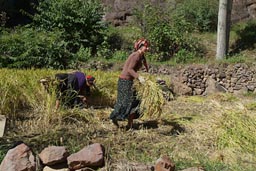
Such is hospitality in the Çoruh. Later I drive back with Murat, meet his sister, we all have coffee and baklava, pretty sweat stuff and they explain me, how all will be submerged here with water in 2 years or so. No more white water rafting, their camping will be gone, they are really sad.
Tortum valley and Öşvank/Öşk Vank Georgian church.
Yusufeli, the lowest point that I hit, at 600m, I learn that this town will be completely gone once another dam projects (wiki) is put into reality, a 270m high dam, second largest of the 13 planned, so crazy (read this).
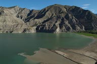
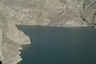
Here I turn south again direction Erzurum, back up mountain following the Tortum valley and gorge, subsequently the Tortum Lake. Looks like a dammed lake, but isn't, this one was formed by a landslide, naturally, a long time ago. Maybe this is what the new paradises will look like? Lakes instead of streams, different paradises. The mind is a bit sad, in sight of the new beauty, brainwashed, it refrains from looking back at wiped out memories of gorges and canyons and white water streams.
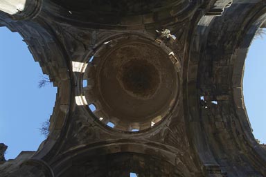
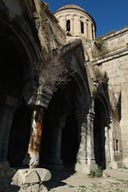
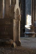
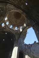
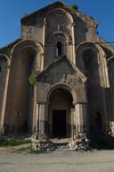
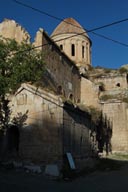
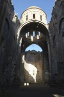
Descending the Çoruh I entered the Georgian churches/monasteries country, all founded 8th C. built 10th rebuilt with a dome 12th C. most lie in ruins today, some are luckily still used as mosques, their state is much better. My first one, the very impressive Georgian church of Öşvank/Öşk Vank I find on my way to Erzurum. Roof is missing, cupola still standing on 4 massive pillars. “Tourists come with chisels and hammers, steal the stones/frescoes”, tells me the 2nd imam of the near-by mosque in perfect German. So many old Turks spent a great many years working as Gastarbeiter in Germany.
Think this is what I want keep doing, see more churches/monasteries and more gorges/canyons before tourists and governments take them away for good. Just hope the weather holds for a little longer. Late this evening I reach Erzurum. What a wonderful day this was.
Erzurum.
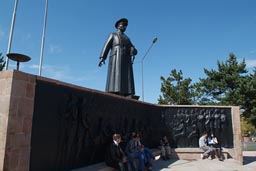
Erzurum (wiki) is the largest city in Eastern Anatolia, I am back up at 1900m, on the plateau. Erzurum is so famous for the first meeting of Turkish revolutionaries (wiki) in 1919, Mustafa Kemal and Kazim Karabekir then drew the path, so vital for everything that came after on the road to independence and republic.
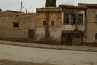
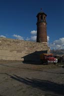
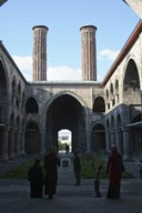
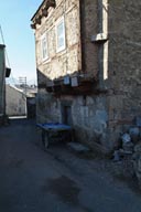
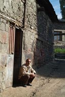
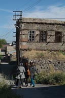
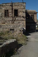
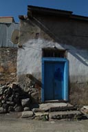
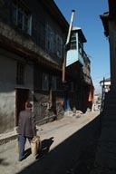
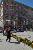
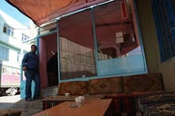
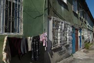
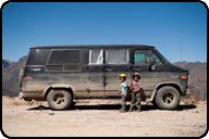
I settle in, park my van where I have free wifi connection all day, work, eat well, drink tea, çay, one of 2 words I manage to remember in Turkish, sit in sun on the castle's clock tower, walk around. Many old mosques, the fortress, Ottoman stone houses, roofed with earth, keeps them well tempered. But the city feels a bit closed up, conservative, but friendly and I like my way round.
It's just after days, small business owners dislike a bit the big van that is parked outside their shops, takes the view away, keeps customers away.
Impressions below. My way round town.
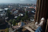
One early morning climb the steps of the clock tower of the castle, old Tepsi minaret has 19th C. wooden gallery, there is still the bell, a CCTV camera gives the impression it isn’t working anymore. City below is in a haze, I sit on railing, try to get warm in the early sun, stretch out my legs, cold feet in Converse. Below a man chases away a flock of pigeons, captures one but doesn’t kill her, wouldn’t solve his problems, think he rears his own pigeons on the roof nearby, what is this man concerned about when he restlessly chasses away pigeons? A capture of a moment in time, I ponder as soon Christina will arrive in Erzurum.
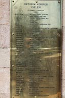
The Erzurum Congress momorial; it won’t get in my head, where is Kazim Karabekir (wiki), on the delegates list? Isn't this his home town, his region? He, the successful commander of the Eastern (Russian) front, who later fell out with Atatürk, in 1926 nearly sentenced to death, only later to become speaker of the parliament after the leader’s death in 1939. I would have to wait till Kars to find a barrack that bears the name of Karabekir.
Wander between cultures and environments.
An interesting topic; you come from the drinking and dancing Greek inspired Black Sea coast region in the north where local women are generally not veiled. This region gets a lot of rain which renders the vegetation green and lush; altitude is lower, climate milder.
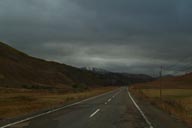
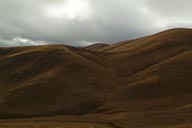
You move south up mountain, the ridges, the deep valleys climb several passes, you reach the Anatolian plateau. Eastern Central Anatolia is moulded by the elements, summers are very hot and dry, winters very cold, temperatures can drop to minus 30°C, snow and nothing but snow is too common in some areas.
It seems this is what affects people’s attitudes in places like Erzurum and Bayburt. Men wear these larger Saddam type moustaches and many women cover all body and face parts, some wear these earthy sacks, don’t dare take a picture. Nothing unfriendly ever occurs to you, but some suspicion and certainly not openness prevails.
This continues, in and out of conservatism, in and out of the cold, up and down the mountains, from coast and river to steppe and rocky desert.
www.thisfabtrek.com > journey > asia > turkey > 20091003-erzurum




 contains Festival/Fiesta/Art photography.
