


 contains Festival/Fiesta/Art photography.
www.thisfabtrek.com > equipment > gps
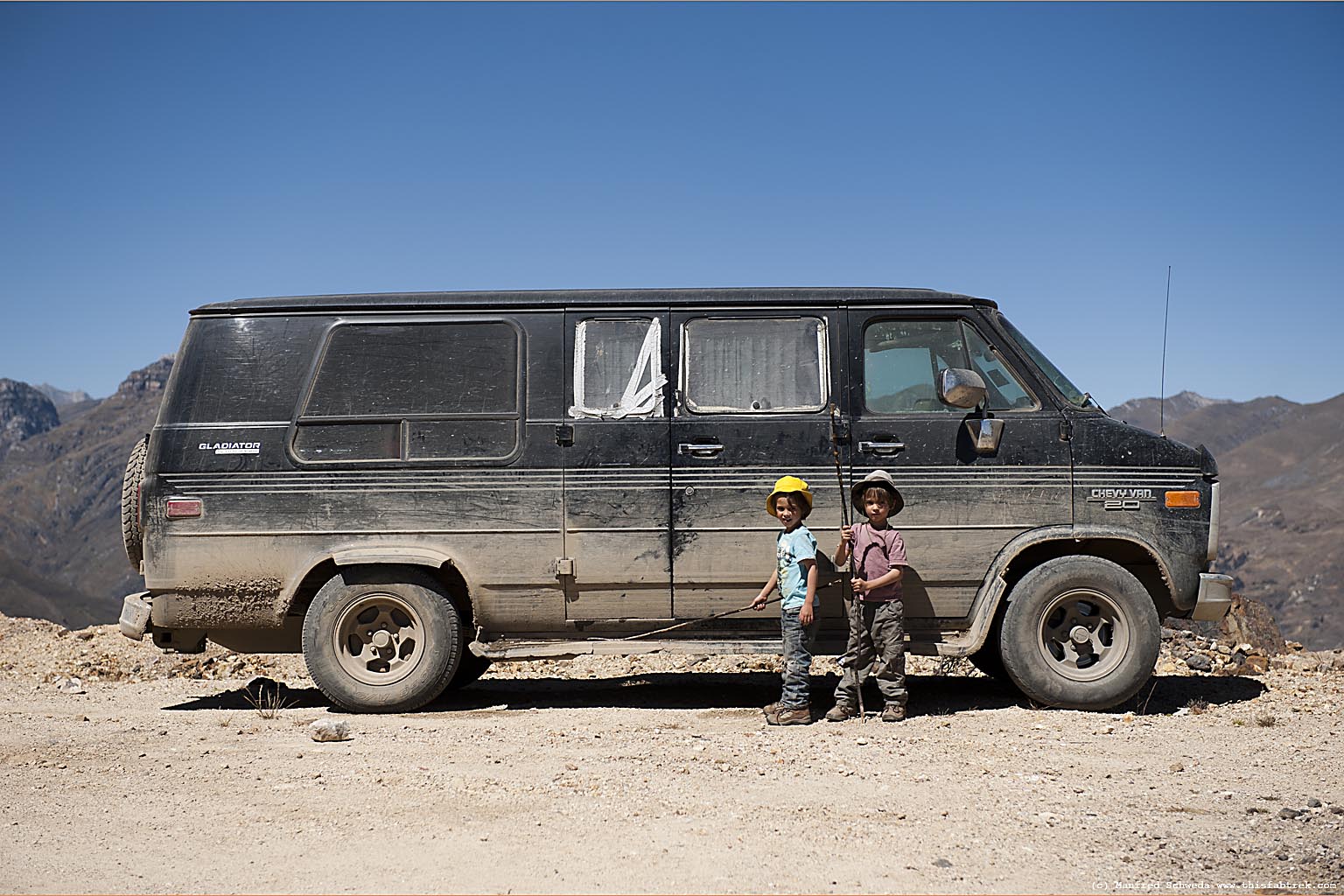
GPS-unit, without it your nothing.


Don't leave home without it! I carry a second unit as a back-up. This little ruggedized device has become important and not just to record the track. I remember walking near Luxor, Egypt the mountains in the back of the Valley of the Kings and I just walked and was confident, because I carried my GPS, to somehow find my way.
It is unbelievable what you can accomplish when you carry a GPS receiver. Of course one could do with a compass and paper maps, I might if needed, just when you want to walk, I mean start walking, you might not have these maps. This is true for me, as I am on a long journey, sometimes in remote areas. And then you can rely on the waypoints, directions, distances, even without an actual map on the GPS-unit.
But journey and trekking usually starts with downloading tracks and and waypoints from the internet, Google Earth (the application) becomes more and more important to me all the time. I also might find routes, tracks and waypoints from other peoples' journeys (I offer downloads for free of most of my own tracks, see the voyage pages), you might want to look at everytrail.com, or wikiloc.com. Figure out your own journey and route, mark waypoints on your laptop computer, feed your GPS-device with all that and off you go. Then in the desert or in the jungle you are much better aware of distances and bearings, your very where-about.
Plotting the recorded track/journey later on a variety of maps, satellite images or Google Maps and Earth is where the real fun starts, sometimes where the big "ahh, this is where we walked about" comes in.
;-)
Garmin 60 series
2004 before I went on the fabtrek I bought a Garmin 60CS, later another one as a back-up, later another one, a 60CSx with a much better receiver and a 2GB-microSD card. Peter Swoboda's GPS World in Vienna, my dealer was a great place for me to get my head round certain GPS issues. The Garmin 60-series receivers just work; waterproof, ruggedized, compass, altimeter, clip on for backpack, 2 AA-rechargeable batteries or 12 volt charging, USB connection.
It is the USB plug in the back that once broke, pushed it in too far, also the on/off switch on the top broke, but then I turn it on and off every day several times. The thing is you cannot have it repaired, after a year the warranty is gone. Garmin is as someone says a stingy company (This is a good read). But what is the alternative? Once you have used a 60CSx there isn't one.
This is a good forum. Groundspeak, also Yahoo! groups for 60CSx.
GPS-Software and how to get tracks into Google Earth?
Bear in mind: In 9 years of travelling all changed all the time and by the time you're reading this most will already be out of date again.
Before I was on Windows. I used both, Touratech's Quo Vadis (TTQV) and Garmin's Mapsource, both are mapping software, good for export and import of waypoint, routes and tracks to and from the GPS. Now I am on Mac and use Garmin RoadTrip, Garmin MapInstall and Garmin MapManager, also a Garmin BaseCamp which I have not used yet; it seems the world has become more complicated, each has its very specific and limited functionality, but so is the Mac philosophy.
There is a whole lot of maps and sat-imagery, on the internet or at the dealer. Some maps can be uploaded to the 60CSx some have routing capabilities. One great place to search and download free routable maps for Garmin brand GPS devices is the OpenStreetMap project.
Now there is Google Earth and Google Maps, and this really enhances the experience of viewing ones track. Save the track/waypoints to .gpx format, convert it to .kml. Easier said then done. On Mac GPS Babel does all the conversions stuff.
My old GPS workflow under Windows.
Cumbersome but it worked for me: TTQV, or Mapsource spit out a .gpx file which can be converted to satisfaction with something like KML Manager, then fiddle with it in a text editor, I use Dreamweaver for it. Then double click and open it in Google Earth.
There are many ways to get similar results.
Really cool is Google Maps API code that allow me to embed Google Maps in web pages with JavaScript, which is not that difficult. However adding overlays for tracks and placemarks, photos (.kml files), make the points clickable in a nice looking format the way you want it, is technical. Look further down.
GPS, how is it on a Mac? Or better, what do I use?
Pretty much the same, Garmin RoadTrip, exports a .gpx file, GPSBabel converts to .kml and a ton of other formats. To get what I want for my Google Maps API gimmick on my webpage, I convert to Tab delimited .txt, rename to .csv, import it to an OpenOffice.org spreadsheet (Excel would work), and fiddle and purge what is clutter, I only copy the essentials into the .kml file.
The simple .kml file.
As far as I am concerned a simple .kml file only needs this much, Points and Lines, as many as you want, so you need to make sure your .kml file looks like this, double click to test it in Google Earth, if it doesn't load there is an error in the code!
<?xml version="1.0" encoding="utf-8"?>
<kml xmlns:xsi="http://www.w3.org/2001/XMLSchema-instance" xmlns:xsd="http://www.w3.org/2001/XMLSchema" xmlns="http://earth.google.com/kml/2.2">
<Document>
<Style id="pushpin"> <IconStyle> <color> dd0000ff </color> </IconStyle> </Style>
<Style id="line"> <LineStyle> <color> CC00FF00 </color> </LineStyle> </Style>
<Placemark> <description> San Francisco </description> <Point> <coordinates> -122.4373306,37.5779993,0 </coordinates> </Point> <styleUrl>#pushpin </styleUrl> </Placemark>
<Placemark> <description> This is a 5 point linestring. </description> <styleUrl>#line </styleUrl> <LineString> <coordinates>
long,lat,elev
long,lat,elev
-122.4373306,37.5779993,55
long (in degrees),lat (in degrees),elev (in meters)
long,lat,elev
</coordinates> </LineString> </Placemark> </Document> </kml>
Obviously there are zillions of ways to make things nice and complicated, look up the Google kml references documentation.
To embed .kml in HTML using the Google Map API.
Do what I do, look up the source code of other pages: Look up mine...
There is stuff in the header, the script and stuff in the body and some in the CSS.
And then one day Google changed from API version 2 to 3, and there I had to figure out the new code and then change all the pages... huuch (Migration guide).
Voila:
www.thisfabtrek.com > equipment > gps
![]()